CE-Traffic offers location-based Big Data services: Real-time traffic and Geodemography. The first one uses Floating Car Data technology to analyze over 25 million kilometers of anomymous GPS tracking data daily to generate high-quality real-time and predictive traffic information. Our second system uses anonymous signaling data from mobile network operators to provide unique macro-scale geodemographic statistics (or Location Insight Service).
We decided to use the opportunity of MotoGPS Grand Prix – premier championship of motorcycle road racing in Brno – to investigate quality and correlation of our two independent systems. Our Geodemography system was monitoring number of people present in the area of the Masaryk Circuit, and Floating Car Data technology allowed us to generate precise traffic information on D1 highway in the radius of 5km away from the circuit.

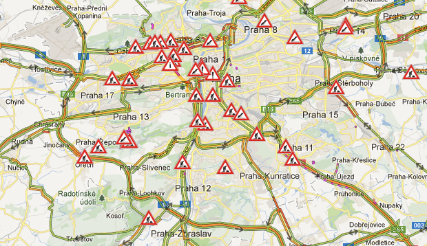
Sunday, 25th of August was the last day of the event. People started to arrive at the venue early in the morning. Around 1:00 pm one could observe the peak – almost 140,000 people present. After end of the last run people started to leave the circuit area. 100,000 people in 3h time-span. At 3 pm D1 highway in the 5km radius around the circuit started to be jammed with 20 min delay where typical ETT is around 5 min. Two hours later the delay grew up to almost 85 min. 5 km in 1,5 hours…
This example shows that the correlation of the two systems in very high. Using Ce-Traffic historical data about similar events around the Central and Eastern Europe gives new possibilities in analysis of mass behavior during large events which is extremely important e.g. for crisis scenario modelling.